X•SAR Technology
Watch the Demo Videos Below

Experience X•SAR in Action.

Request a Live Field Demo and discover how RF-based intelligence helps responders locate people faster.

X•SAR Terrain

AI-Powered Search & Rescue for Rural & Remote Environments

X•SAR Urban

AI-Powered Search & Rescue for Close-Proximity Operations

From a Single System to Multi-System Deployment

One Platform to Monitor ─ Handhelds and UAVs

Watch the demo videos to see how X•SAR supports Search & Rescue operations across Terrain and Urban environments — helping teams locate devices, coordinate field operations, and improve situational awareness during critical missions.


X•SAR is designed, tested, and deployed for real-world Search & Rescue operations.


Why X•SAR as a Mobile Application?


Self-installable Android applications enable rapid deployment and scaling when it matters most. During incidents and disasters, additional devices can be quickly added as needs grow — making X•SAR modular, flexible, and scalable in the field.
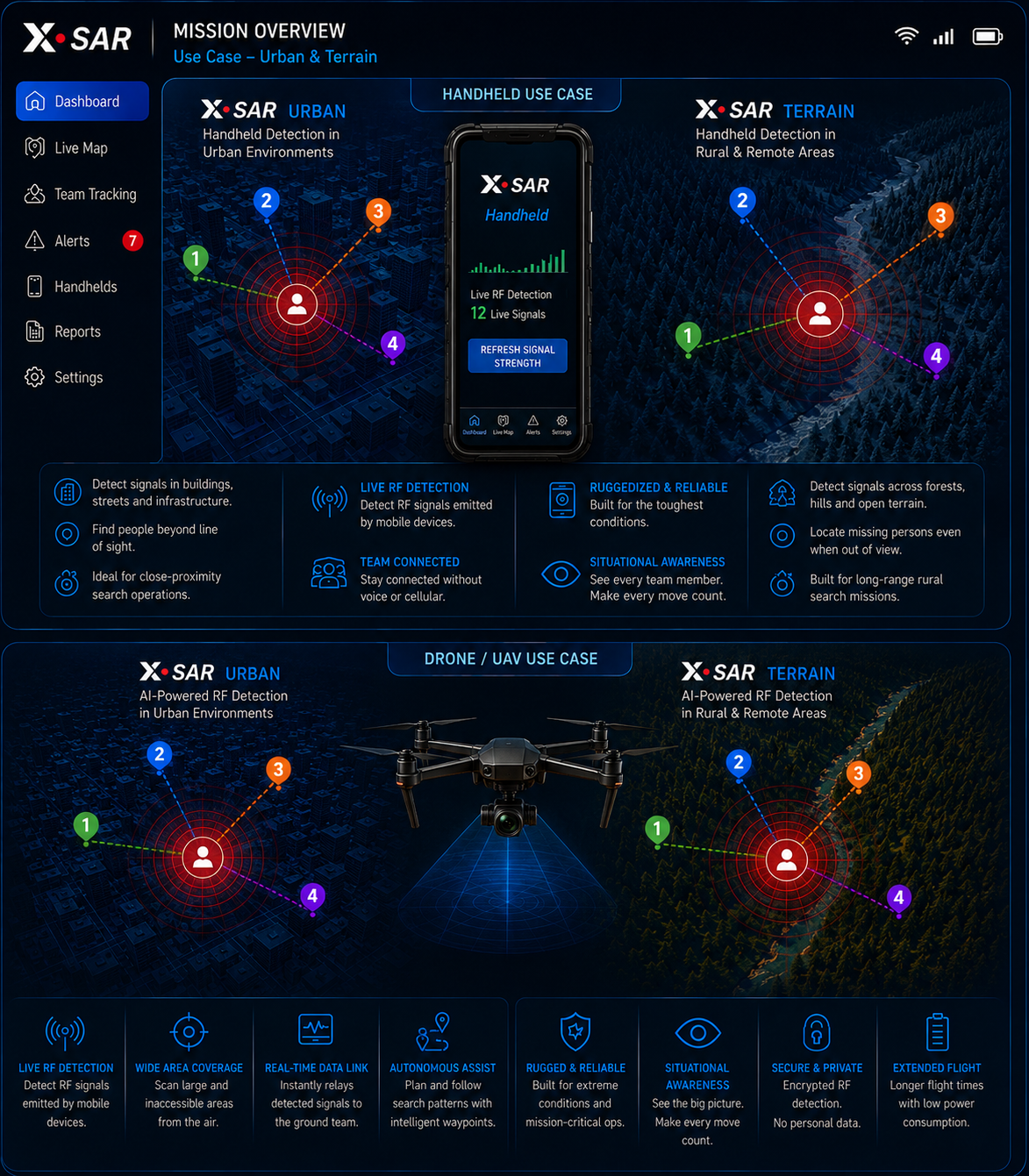
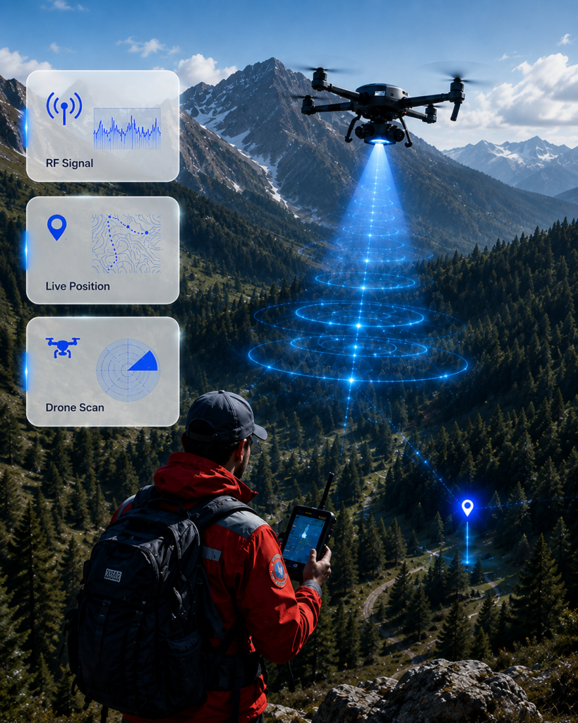
Similar to X•SAFETY, two dedicated Android applications (Handheld & UAV) are available for both X•SAR Terrain and X•SAR Urban.


Contact us to receive a free demo account and experience X•SAR technology in real-world conditions.

Mobile System

Available as X•SAR Terrain for Rural & Remote Environments, and X•SAR Urban for Close-Proximity Operations.

Mobile System

Command Dashboard

1)   Enables Drone/UAV operators to remotely manage airborne X•SAR systems with live mission data, signal analysis, and operational control.

2)   Supports SAR field teams with real-time monitoring of one or multiple X•SAR mobile systems.

Oversight Platform

Coordinate drone and ground teams through one operational Oversight Platform. Delivering real-time mission intelligence and RF data unified in one intelligent dashboard.

Real-Time AI-Powered localization of RF Signals.

Delivering dynamic RF guidance while responders are moving.

X•SAR guides responders toward compatible BLE RF signals before visual confirmation is possible.

Minimizing Blind Spots ─ Maximizing Situational Awareness.

Select Your SAR Operation Terrain + Urban

Available as Handheld
and Drone / UAV Compatible

Scroll to Top