X•SAR Terrain Rural Mountain Forests
AI-powered RF intelligence for rural and remote
Search & Rescue operations.
X•SAR Terrain
AI-Powered Search & Rescue for Rural & Remote Environments
X•SAR Urban
AI-Powered Search & Rescue for Close-Proximity Operations
X•SAR Terrain is an advanced Search and Rescue (SAR) application designed for professional operations across rural, wilderness, mountainous, and remote environments.
Available for SAR drones / UAVs and field searchers’ Android handheld devices, X•SAR Terrain adds an intelligent RF detection and search layer to existing SAR capabilities.
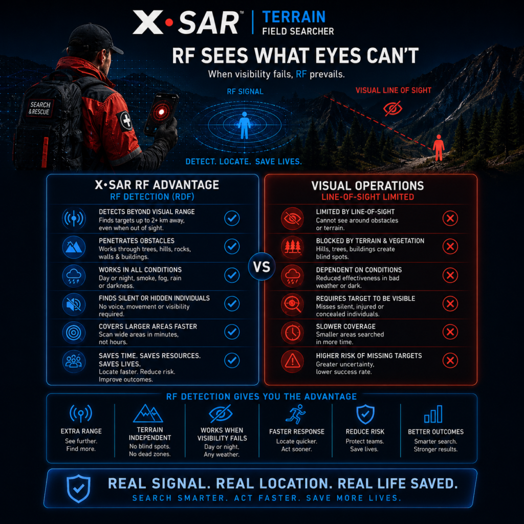
It helps Search and Rescue teams detect, assess, and locate supported mobile-device RF signals that may be associated with a missing person—including situations where the individual may be silent, injured, hidden by terrain or vegetation, or beyond normal visual or audible search range.
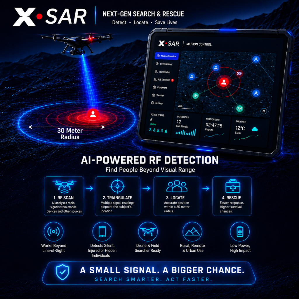
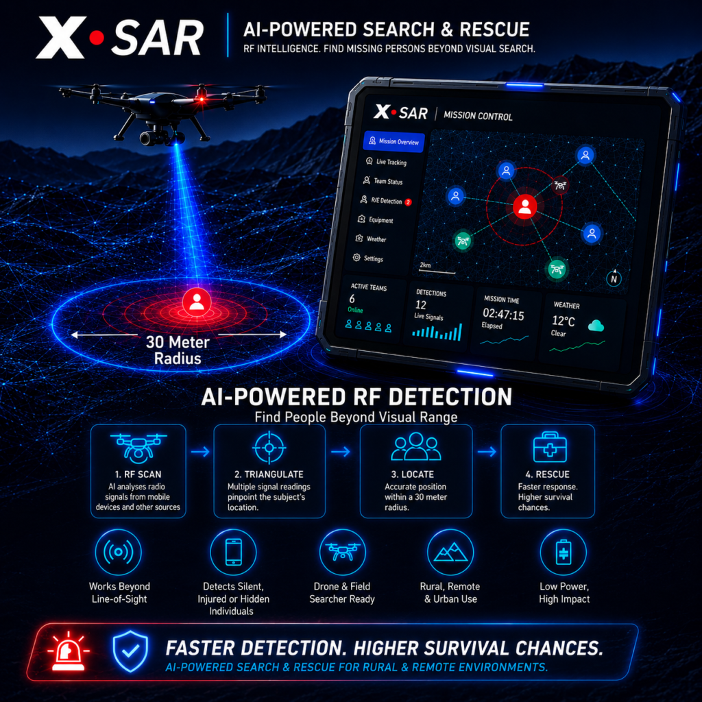
X•SAR Terrain enables compatible SAR drones and UAVs to operate as AI-powered RF search platforms.
The technology combines aerial search mobility with RF signal intelligence, helping teams investigate areas where terrain, vegetation, darkness, distance, or other environmental conditions can limit conventional visual searching.
A dedicated Drone Operator Command Dashboard provides operational information and RF search intelligence during deployment.
X•SAR Terrain integrates with compatible existing SAR drone platforms, adding an additional search capability without requiring organizations to replace their established aerial assets.
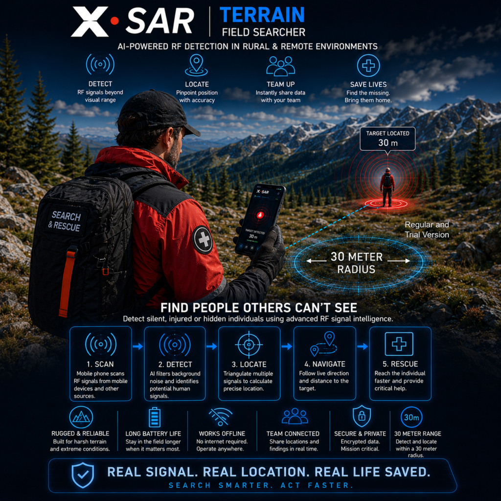
X•SAR Terrain also enables compatible Android smartphones to operate as RF-enabled field search tools.
Advanced algorithms process supported detectable RF signals and provide search personnel with signal intelligence, including signal-strength and proximity-related information.
This provides field searchers with an additional method of investigating areas where a missing individual cannot be seen, heard, or easily reached.
X•SAR Terrain supports complementary operational capabilities:
- SAR Drones / UAVs — aerial RF search and detection
- Field Searchers — handheld RF detection and proximity assessment
- Drone Operators — dedicated command and operational intelligence
- Search Teams — a RF intelligence layer alongside established SAR methods
Designed ─ for Professional Search & Rescue
X•SAR Terrain is designed for use by Search and Rescue organizations, emergency services, fire and rescue services, public safety agencies, municipalities, counties, civil protection organizations, and other authorized response teams.
Extend ─ the Search Beyond Visual Detection
Search and Rescue operations frequently take place in environments where conventional visual searching is difficult.
X•SAR Terrain adds RF intelligence to the search environment—helping teams identify potential areas of interest and make better-informed operational search decisions.
X•SAR Terrain ─ Extend the Search Beyond Line of Sight.
X•SAR Terrain is a supporting Search and Rescue technology. It does not replace trained SAR personnel, established search procedures, emergency communications, or other approved Search and Rescue technologies.