Identifies Priority Search Locations
even Beyond Line of Sight
Mobile System Transform Any Drone into an RF Search PlatformWeb Oversight
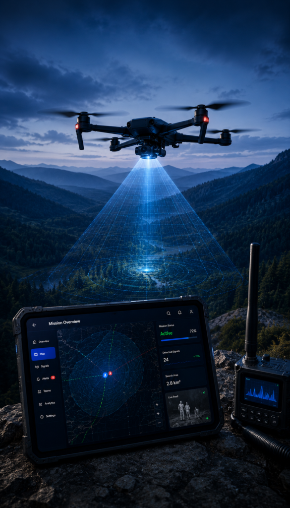
X•SAR transforms virtually any compatible drone into an intelligent Radio Direction Finding (RDF) platform.
By detecting Bluetooth Low Energy (BLE) and optionally Wi-Fi signals from the air, drones can rapidly search large areas for electronic devices carried by missing persons, complementing traditional aerial search methods.
Operate Beyond Visual Search with X•SAR Technology
Thermal and optical cameras can be limited by dense vegetation, darkness, weather conditions, or terrain.
X•SAR adds a completely new search layer by detecting radio frequency signals that cannot be seen by a camera, enabling drone teams to locate electronic devices even when the missing person remains visually concealed.
Minimize Blind Spots & Search Time using X•SAR
Flying above forests, valleys, mountains, or urban environments allows the drone to receive RF signals from locations that may be inaccessible or invisible to ground teams.
This reduces blind spots, expands search coverage, and significantly shortens the time required to identify high-probability search areas.
Intelligent RF Localization
Rather than simply reporting detections, X•SAR continuously analyzes signal strength, GPS position, flight path, and historical detections to identify the most probable location of a missing person’s device.
Operators can focus their flights on the strongest and most consistent signals, improving localization accuracy with every pass.
Complete Oversight Dashboard
Once the Mobile System is mounted on the drone, it becomes airborne and is no longer directly visible to the pilot.
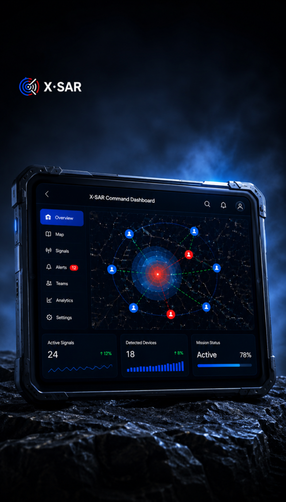
X•SAR solves this by synchronizing all operational data to the Web Oversight Platform, allowing SAR Drone Operators to monitor live detections, tactical maps, mission status, and signal intelligence from a laptop, tablet, or command workstation throughout the flight.
Real-Time Situational Awareness
In addition to the SAR Drone Pilots, Incident Commanders, Operations Chiefs, and Field Team Leaders can simultaneously monitor every drone mission in real time without interrupting the pilot.
Live RF detections, peak signal locations, drone position, and mission progress are shared instantly, enabling faster tactical decisions and improved coordination between aerial and ground search teams.
Faster Deployment, Smarter Searches
Designed for rapid operational deployment, X•SAR runs on rugged Android hardware and integrates easily with virtually any drone platform.
Teams can configure missions within minutes, adjust search parameters in real time, and immediately begin collecting RF intelligence without requiring specialized airborne hardware.
Intelligent Filtering for Reliable Results
Operational drones and responder devices are automatically excluded through continuous whitelist management, preventing friendly devices from appearing as search targets.
Advanced filtering and signal prioritization ensure operators concentrate only on the most relevant detections during critical missions.
A New Layer of SAR Drone Intelligence
Request a 3-Day Free Trial of the X•SAR Technology for both Terrain and Urban.